Google and NASA JPL Unveil Deep-Learning Model to Map Global Methane Plumes
Google and NASA’s Jet Propulsion Laboratory have introduced MAPL-EMIT, a deep-learning model that uses satellite imagery to detect and localize methane emissions worldwide.
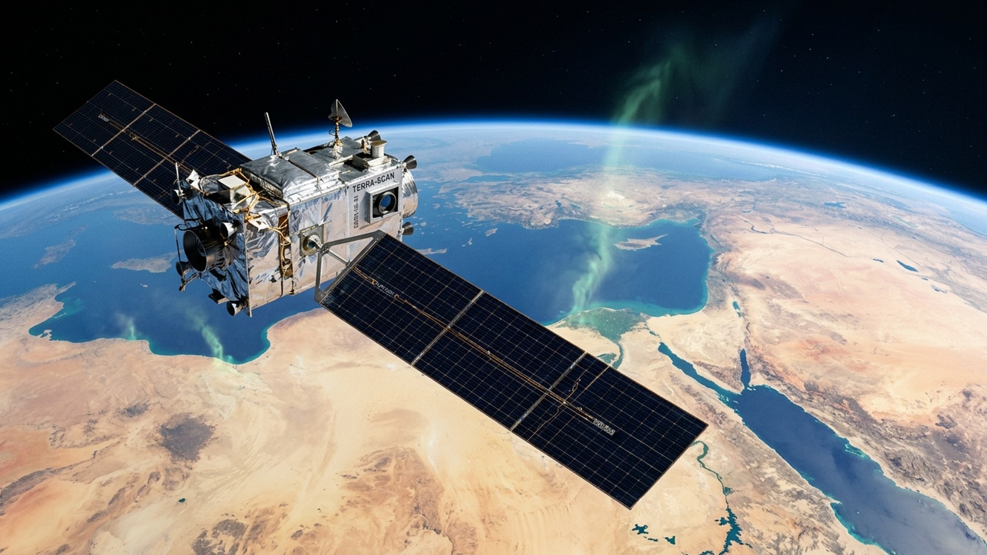
Key takeaways · 3
- 01
MAPL-EMIT detects 50% more plumes than human experts.
- 02
The model found emissions at 24 of the world's 25 largest-emitting landfills.
- 03
The tool repurposes the ISS-based EMIT instrument, originally designed for mapping mineral dust.
Detecting Methane from Space
Google and NASA’s Jet Propulsion Laboratory introduced MAPL-EMIT on September 9, 2026, a deep-learning model that detects, quantifies, and localizes methane plumes globally from NASA’s EMIT satellite instrument. [1] The model was trained on 3.6 million physics-simulated methane plumes and detects 50% more plumes than human experts. [1] Google stated that the model identified more than 23,000 additional plumes globally, including emissions at 24 of the 25 largest-emitting landfills in the world. [1]
Climate Impact and EMIT Hardware
The study attributes roughly 25% of human-induced warming since the industrial era to methane, noting that human activity accounts for 60% of global output. [1] Google's announcement describes methane as a potent greenhouse gas with a warming potential over a 100-year timeframe that is 30 times greater than carbon dioxide. [1] The EMIT instrument, which operates aboard the International Space Station, records 285 spectral bands at a 60-meter spatial resolution and was originally designed to map mineral composition in arid regions. [1]
What it means
The deployment of MAPL-EMIT demonstrates how deep learning can repurpose existing satellite instruments—like EMIT, originally meant for mineral mapping—for critical climate monitoring tasks. By identifying emissions at major landfills that human experts missed, the tool offers governments and enterprises a more accurate baseline for tracking the Global Methane Pledge goals. What the sources don't address: How quickly the model's localized plume data will be made available to regulators or facility operators to actionably stop the identified leaks.
AI-driven computer vision is dramatically improving the scale and accuracy of environmental monitoring from space. This allows for precise, localized tracking of greenhouse gas emissions that previously required labor-intensive manual analysis.
Why it matters
Put this to work — one session a day, built for your industry.
Create a free account for a daily session — eight questions and one real-work challenge, on the news that affects your role.
Start freeHow this developed
10 September 2026
Google and NASA JPL Unveil Deep-Learning Model to Map Global Methane Plumes
10 September 2026
Event created from source cluster.